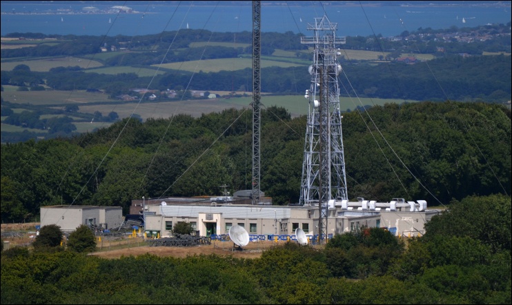
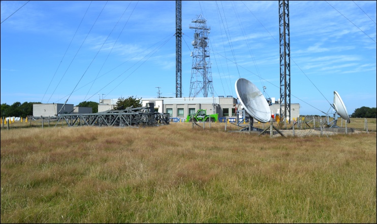
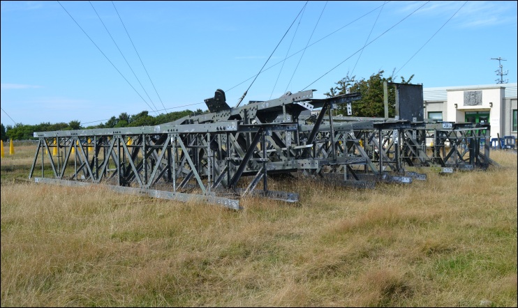
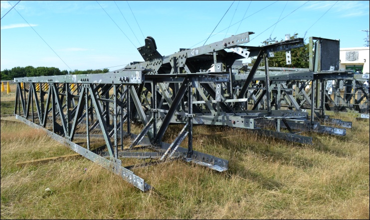
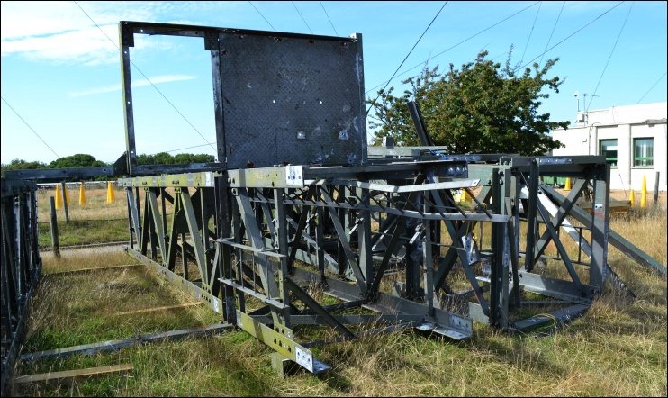
JULY and AUGUST 2015 - DECOMMISSIONING ON THE GROUND AND THE NEW STATION BUILDING
First: The original station building with various signs of work in progress.

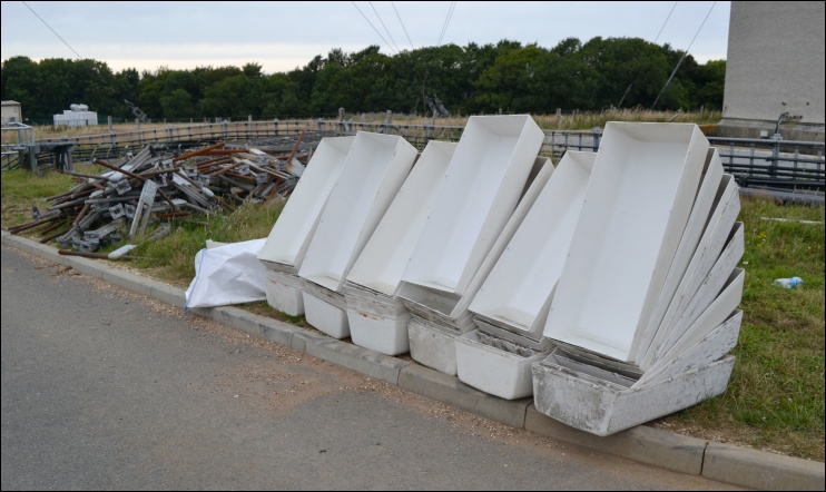
Next: Stacked GRP cylinder panels from the main UHF aerial.

Next: Empty drums from redundant dishes sitting behind the GRP cylinder panels.
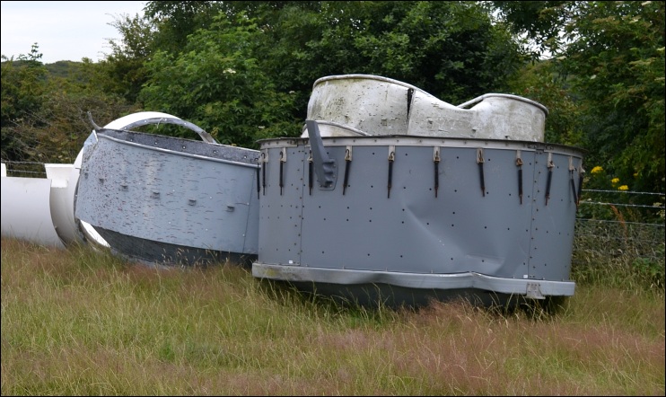
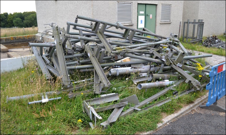
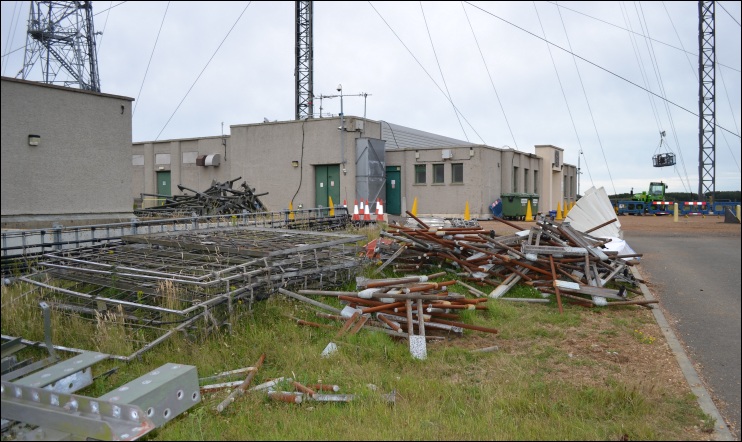
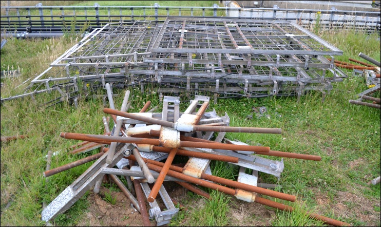
Next: Removed FM Radio Band II aerials and screening panels (Five images).
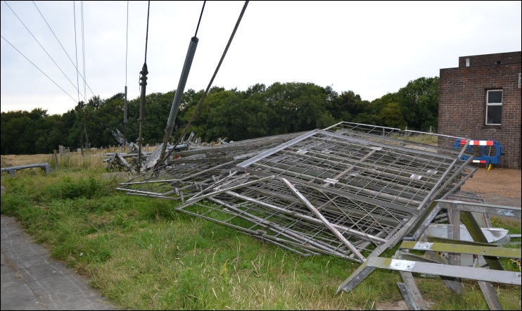
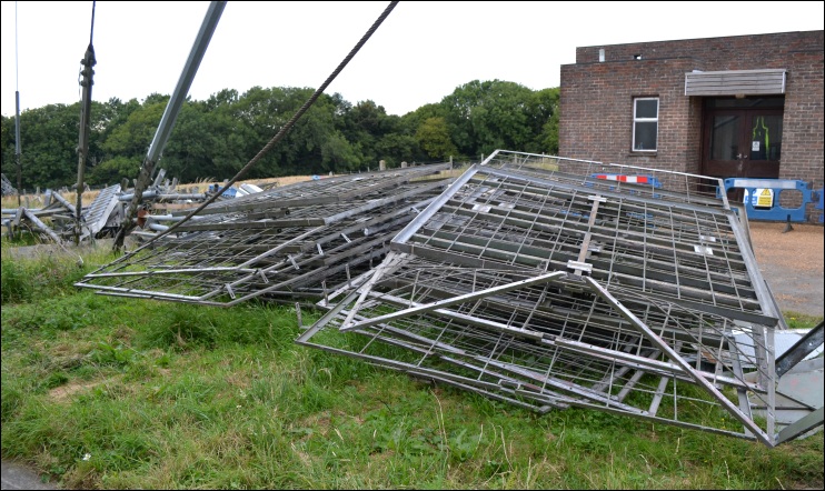
Next: Covers for the pre-DSO digital UHF panels.
Next: Radio transmitters remain within the original buildings. The cable run to the new mast, which includes an access road underpass, is shown in the next four images.
(Note: this cable run is now encased in protective fencing as shown in the July 2016 images).
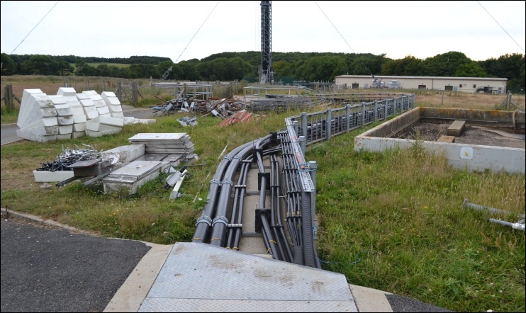
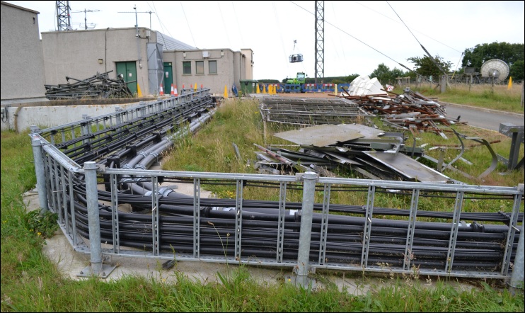
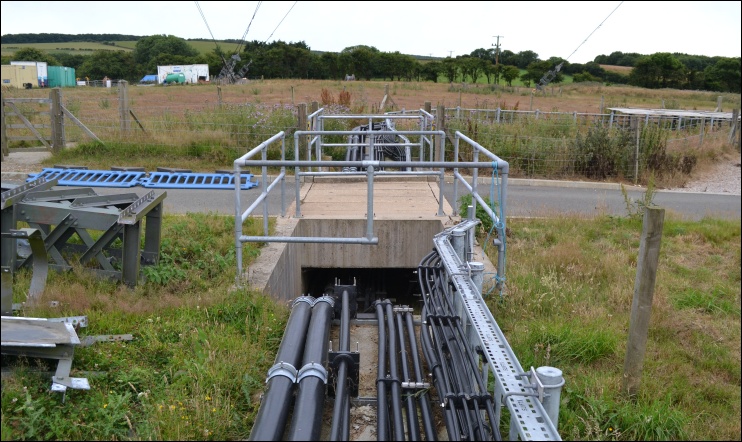
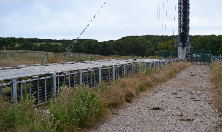
Next: The new mast base, with the radio feed cables on the left and digital feeds incoming from the new building via two paths on the right.
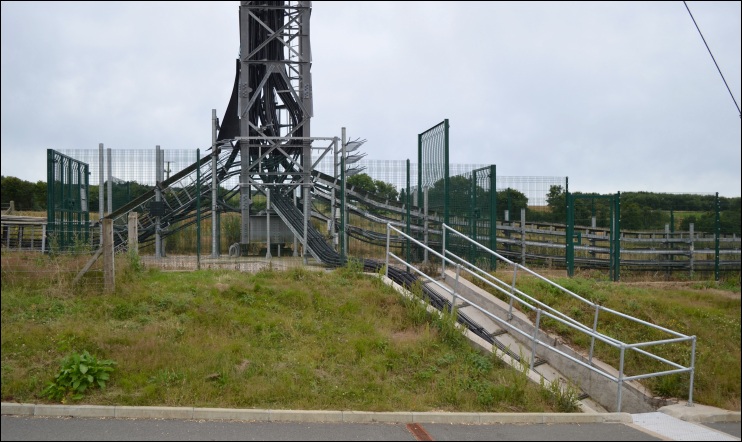
Next: The following three images show the new digital transmitter building. Security around this has possibly been further enhanced since these shots were taken.
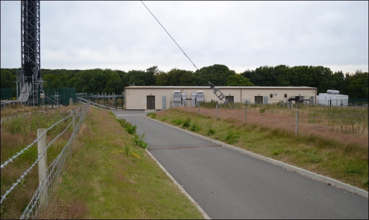
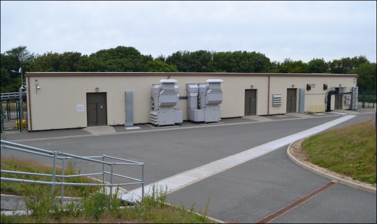
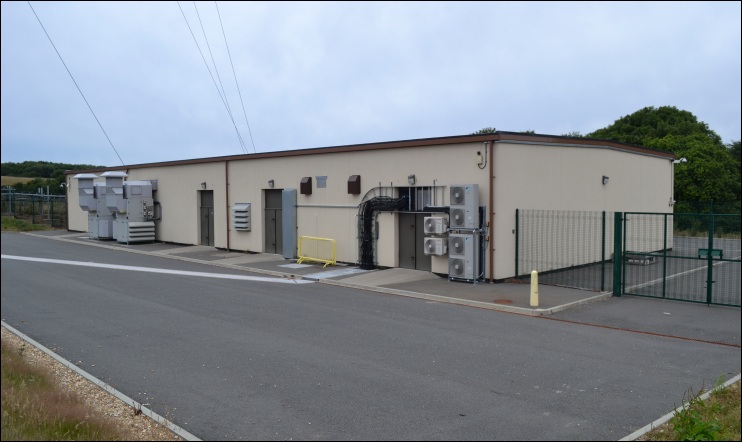
Next: Stays from the old and new mast together.
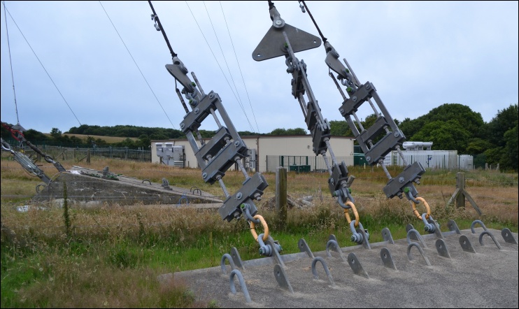
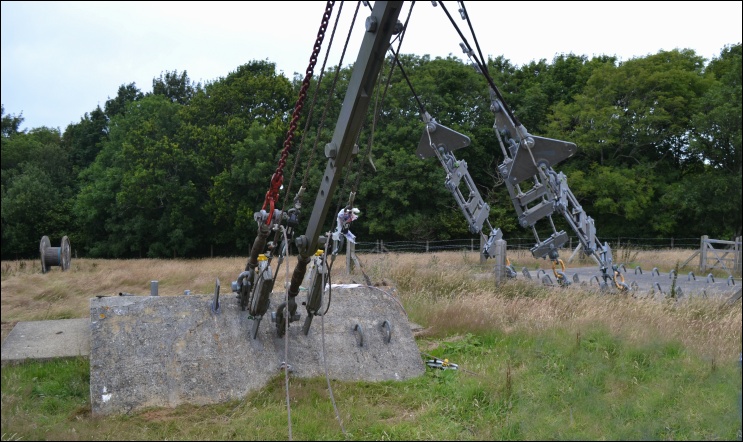
Next: The remaining images below were taken three weeks later in August 2015.