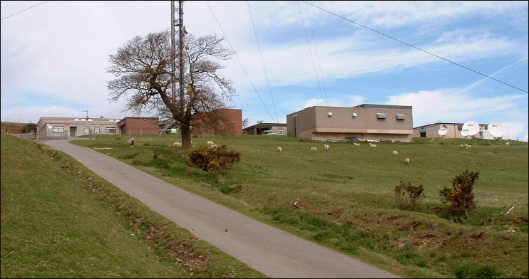
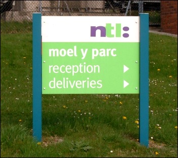
Above: Site access road heading due west.
|
Moel-y-Parc Home> Aerials (1)> Aerials (2)> Transmission Site> Supersize Images> UHF Coverage Maps |
|
|
|
|
|
|
|
|
|
Above: Site access road heading due west. |
|
|
|
|
|
|
|
|
|
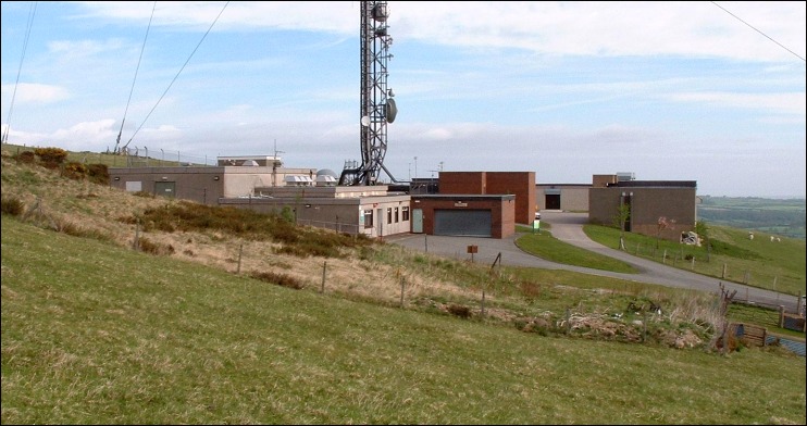
Above: Approach (west-side) view. |
|
|
|
|
|
|
|
|
|
Above: The view from the south. |
|
|
|
|
|
|
|
|
|
|
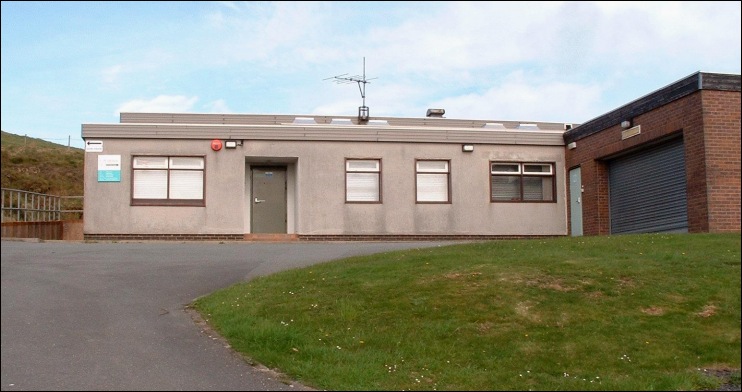
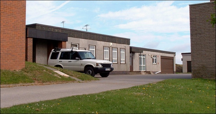
Above: The first building on site is the ex-BBC/Crown Castle/National Grid Wireless office. This strong presence originates with the BBC1 405-line relay which opened in October 1965. |
|
|
|
|
|
|
|
|
|
|
|
|
|
|
|
|
||
|
|
|
|
|
|
|
|
|
|
|
|
|
|
|
Above: Facing north-west towards the main Arqiva (formerly NTL) reception. |
|
|
|
|
|
|
|
|
|
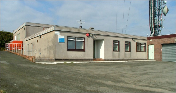
Above: Main reception area. |
|
|
|
|
|
|
|
|
|
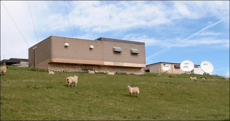
Above: UHF transmitter halls and satellite receiver dishes. |
|
|
|
|
|
|
|
|
|
Above: The overhead view which provides an indication of the station's high ground elevation. |
|
|
|
|
|
|
|
A few further images taken on a later visit. |
||
|
|
|
|
|
|
|
|
|
|
||
|
|
|
|
|
|
|
|
|
|
|
|
|
|
|
|
|
|
|
|
|
|
|
|
|
|
|
|
|
|
|
|
|
|
|
|
|
|
|
Moel-y-Parc Home> Aerials (1)> Aerials (2)> Transmission Site> Supersize Images> UHF Coverage Maps |
|
|
|
|
|
|
|
|
|