|
Divis Home> Aerials (1)> Aerials (2)> Site Compound> Landscape Images> Supersize Images> UHF Map |
|
|
|
|
|
|
|
|
|
|
|
|
|
|
|
|
|
|
|
|
|
|
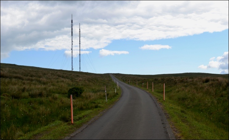
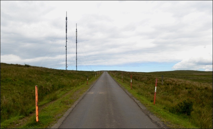
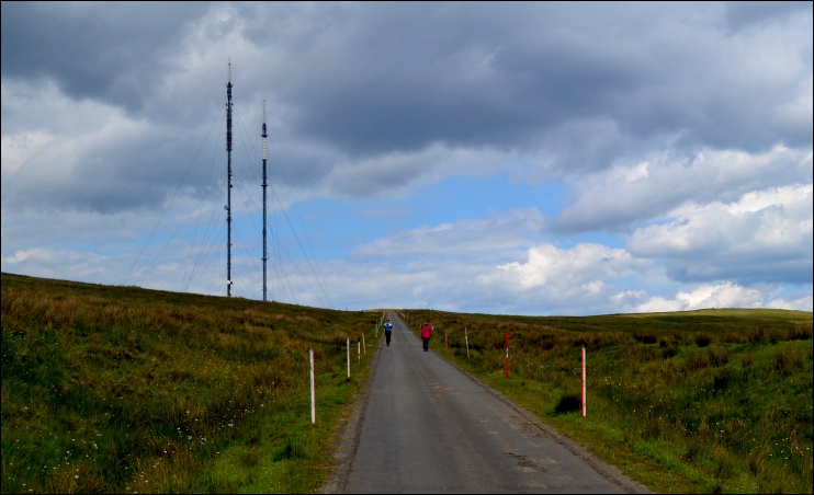
| The following three images were taken from the access road. |
|
|
|
|
|
|
|
|
|
|
|
|
|
|
|
|
|
|
|
|
|
|
|
|
|
|
|
|
|
|
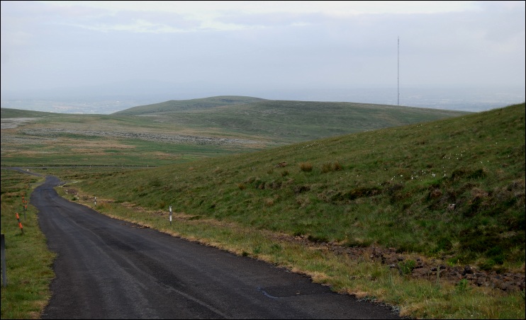
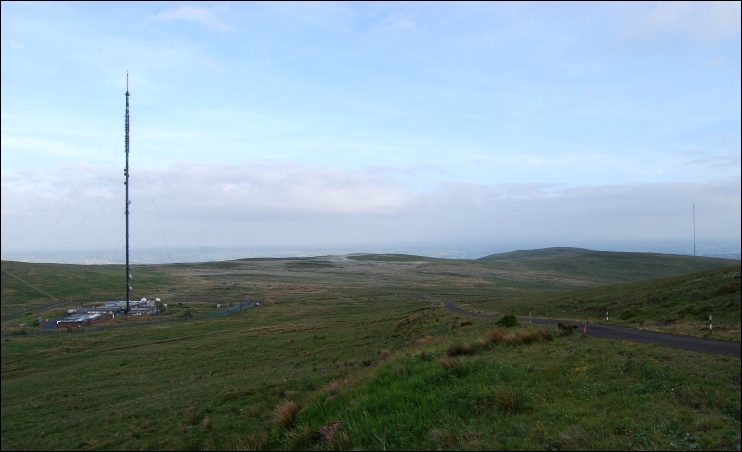
The following two images, taken in 2008, show the Black Mountain mast from Divis. The first image was taken from the area access road ascending towards the peak of Divis Mountain, with the Divis transmitter site just out of view to the left. |
|
|
|
|
|
|
|
|
|
|
|
|
|
|
|
|
|
|
|
|
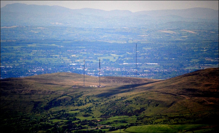
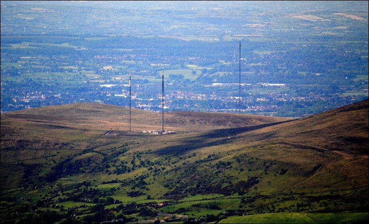
| Finally, the following aerial views show the geographic relationship between Divis and Black Mountain at its closest. |
|
|
|
|
|
|
|
|
|
|
|
|
|
|
|
|
|
|
|
|
|
Divis Home> Aerials (1)> Aerials (2)> Site Compound> Landscape Images> Supersize Images> UHF Map |
|
|
|
|